Santorini, Greece

Fira to Oia Hike: Santorini's Caldera Trail Explained
Hike Santorini's caldera rim from Fira to Oia: about 10 km through Firostefani and Imerovigli, with timing, heat, direction and getting back by bus.
By Navly EditorialPublished 2 min read
Open the Santorini guide
The caldera trail from Fira to Oia is the best way to see Santorini's famous cliffs without a boat or a tour. It follows the rim of the caldera and passes through whitewashed villages, with the sea hundreds of meters below and views in every direction.
The route at a glance
The trail is about 10 km and most people need three to four hours with stops. It passes through:
- Fira, the island's main town
- Firostefani, a short walk north with quieter lanes
- Imerovigli, the highest village on the caldera, facing the Skaros rock
- an open, rugged middle section with the steepest climbs and no shade
- Oia, at the northern tip, famous for its sunset views
Direction and timing
Most people walk from Fira to Oia, so they finish in Oia's lanes. The trade-off is timing. Hiking in the heat of the day is hard work, and Oia is extremely crowded at sunset.
Two good options:
- Start early in the morning: cooler, quieter and better light for photos.
- Start in the afternoon, arrive for sunset: spectacular, but leave plenty of time, and expect crowds and a busy bus back.
What to bring
- Water: there are few refills in the middle section.
- Sun protection: there is almost no shade.
- Proper shoes: parts of the trail are loose gravel and rock.
- A light layer: the rim can be windy.
Getting back
Public buses link Oia and Fira. Check current timetables before you set off, especially if you plan to stay for sunset, when demand peaks. Taxis are limited, so do not count on one at peak times.
Shorter options
You do not have to walk the whole trail. Fira to Imerovigli is a short, easy section with some of the best caldera views, and a good choice in hot weather or with children.
For how the hike fits into a longer island plan, see the Santorini guide.
Questions travelers ask
How long is the Fira to Oia hike?
The trail is roughly 10 km along the caldera rim. Most people take three to four hours at a relaxed pace with photo stops.
Is the Fira to Oia hike difficult?
It is not technical, but parts are steep, rocky and completely exposed to the sun. Good shoes, water and an early start make a big difference.
How do you get back from Oia to Fira?
Public buses connect Oia and Fira. Check current timetables, because evening buses after sunset can be very busy.
Sources to check before you go
Navly for iPhone
See the route before you walk it
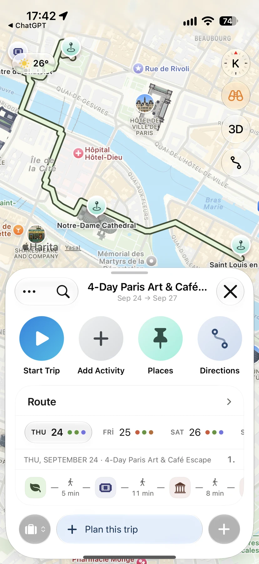
Navly shows each day's stops in order on the map, compares travel times between them and opens directions in Apple Maps when you go.

Free manual planning. AI with Pro or Max.








Keep planning

Sydney, Australia
Bondi to Coogee Coastal Walk: A Practical Guide for Sydney
Plan Sydney's Bondi to Coogee coastal walk: the beaches along the way, how long to allow, which direction to walk, and how to get there and back.
Walking routes · 2 min read

Balat, Istanbul
Balat and Fener Walking Route: Istanbul's Golden Horn Hills
A short Balat and Fener walk in Istanbul from the Golden Horn waterfront past the Bulgarian St. Stephen Church into the hill streets, with what to expect.
Walking routes · 2 min read

New York, United States
High Line Walk: Hudson Yards to Chelsea Market and Little Island
Walk the High Line from Hudson Yards to Chelsea Market and Little Island: a measured 45-minute west-side New York route with access and weather notes.
Walking routes · 2 min read