01
Firuzağa and central Cihangir
Start around Firuzağa and Cihangir Mosque for the neighborhood’s café streets before choosing whether the route stays local or begins descending.
Café tables in Cihangir
Cihangir · Istanbul
Coffee, antiques & a little wandering

Free manual planning. AI with Pro or Max.
A walking route · Istanbul
Build your own day. Save places, connect the route and adjust your plans.
Apple Maps · select a stop to explore
A downhill Beyoğlu route that starts at Taksim, crosses Cihangir and Çukurcuma, and finishes at the Tophane transport corridor.
Not step-free. The route loses about 90 metres and includes steep, uneven hillside streets; reversing it turns most of that descent into climbing.
Steep downhill surfaces can become slippery in rain. Shorten the route or finish before the sharpest descent when conditions are poor.
Walking estimates exclude stops, queues, closures and time inside places.
Starting at the higher Taksim end turns the largest elevation change into descent, keeps Cihangir before Çukurcuma, and finishes near onward waterfront transport.
Valhalla pedestrian geometry over OpenStreetMap. Reviewed 2026-08-29. Map background: Apple Maps. Routes are editorial examples, not live directions.
© OpenStreetMap contributors2.5 km · 35 min walking. Use this direction when arriving by the waterfront corridor, but treat it as a sustained climb rather than the same-effort route in reverse.
Taksim: Use the M2 transport node as the measured high-point start. The route is mostly downhill and finishes away from the starting point.
Tophane: Start from the waterfront transport corridor and reverse the route. Most of the 90-metre elevation change becomes climbing.
Fındıklı waterfront: Use it as an alternative waterfront finish from central Cihangir. This branch is not separately measured in the published dataset.
Plan 2–3 hours or a half day through Cihangir, Firuzağa and Çukurcuma, with the Museum of Innocence and Tophane or Fındıklı as route options.
01
Start around Firuzağa and Cihangir Mosque for the neighborhood’s café streets before choosing whether the route stays local or begins descending.
Café tables in Cihangir

02
Çukurcuma’s antique shops and the Museum of Innocence create a natural downhill continuation. Check current museum hours before fixing the day’s order.
Antique shop window in Çukurcuma near Cihangir, Istanbul

03
Cihangir itself is not on the shore. A waterfront finish means descending toward Tophane or Fındıklı and accounting for the steeper return or an onward tram connection.
Nusretiye Mosque in Tophane
2–3 hours
Keep Firuzağa, Cihangir’s café streets, and one nearby anchor together. Leave the waterfront for another leg if the slope or pace is already doing the work.
Café tables in Cihangir
Half day
Use the neighborhood as the starting point, continue through the antique streets, and decide whether Tophane or Fındıklı is the better finish.
Antique shop window in Çukurcuma near Cihangir, Istanbul
Full day
Connect Cihangir with a researched downhill route and one onward district only after checking the return connection and the day’s walking load.
Nusretiye Mosque in Tophane
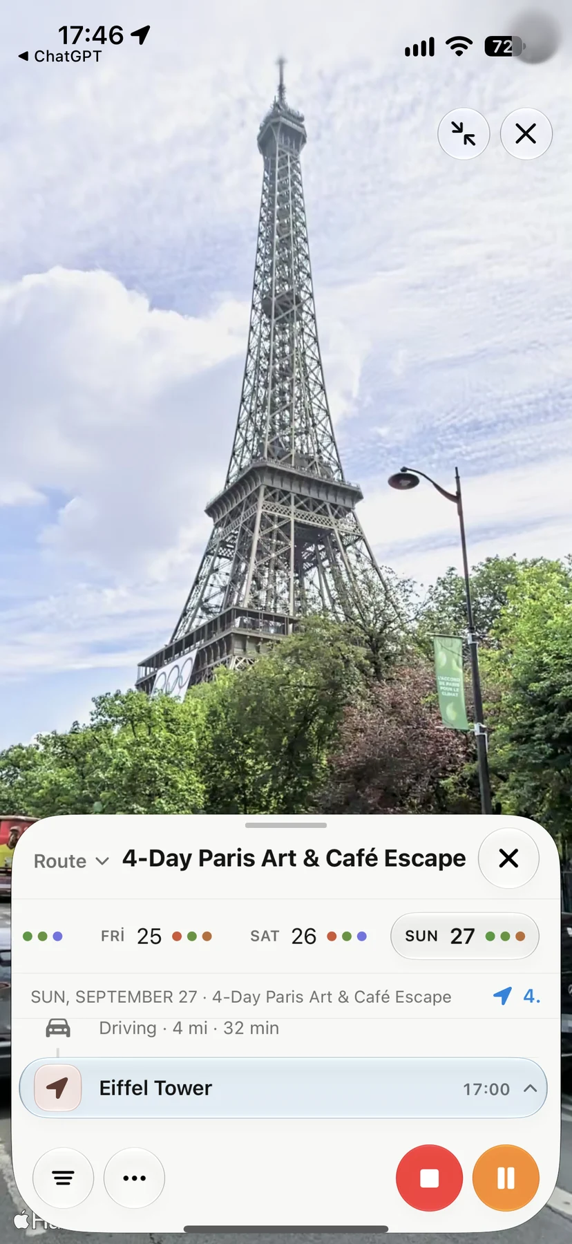
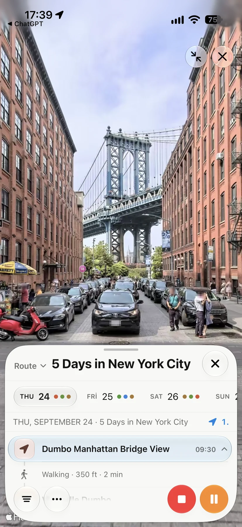
Look Around in Navly
Explore supported streets in Apple Maps Look Around, then keep the places you want to visit in your trip. These are real Navly views from New York and Paris; coverage varies by location.
Cihangir sits on the Beyoğlu hillside, south of Taksim and above Tophane and Fındıklı. It is central, but the slope matters when combining it with the waterfront.
No. Searches for “Cihangir sahil” usually refer to the downhill route from Cihangir toward the Bosphorus waterfront at Fındıklı or Tophane.
Çukurcuma and Tophane form the most coherent walking continuation. Karaköy can follow downhill; farther districts are better treated as a separate transit leg.