
Balat · Istanbul
Balat, Istanbul: Things to Do and a Balat–Fener Walking Route
Colourful streets, curious corners

Free manual planning. AI with Pro or Max.

Make time for these places.
Balat and neighboring Fener form a historic Golden Horn walking area of steep streets, religious landmarks, cafés, and residential lanes. The useful route is not one photo street; it is a careful sequence that respects the hills and the waterfront transport corridor.

02
Bulgarian St. Stephen Church
The iron church sits near the Golden Horn and works as a clear waterfront anchor. Check current visitor access before fixing a timed route.
Bulgarian St. Stephen Church by the Golden Horn
03
Balat’s hillside streets
Let the route climb gradually through residential and café streets. Cobblestones and slopes make a compact plan more realistic than a long checklist.
Colorful historic window and wall in Balat, Istanbul
Choose your pace.
Half day
Fener to Balat waterfront
Connect the Patriarchate area, Bulgarian St. Stephen Church, and a gradual route toward the Golden Horn transport corridor.
Bulgarian St. Stephen Church by the Golden Horn
Full day
A west-side historic route
Keep Balat as the anchor and compare one nearby continuation only after choosing an endpoint that makes the next transfer easier.
Colorful historic window and wall in Balat, Istanbul
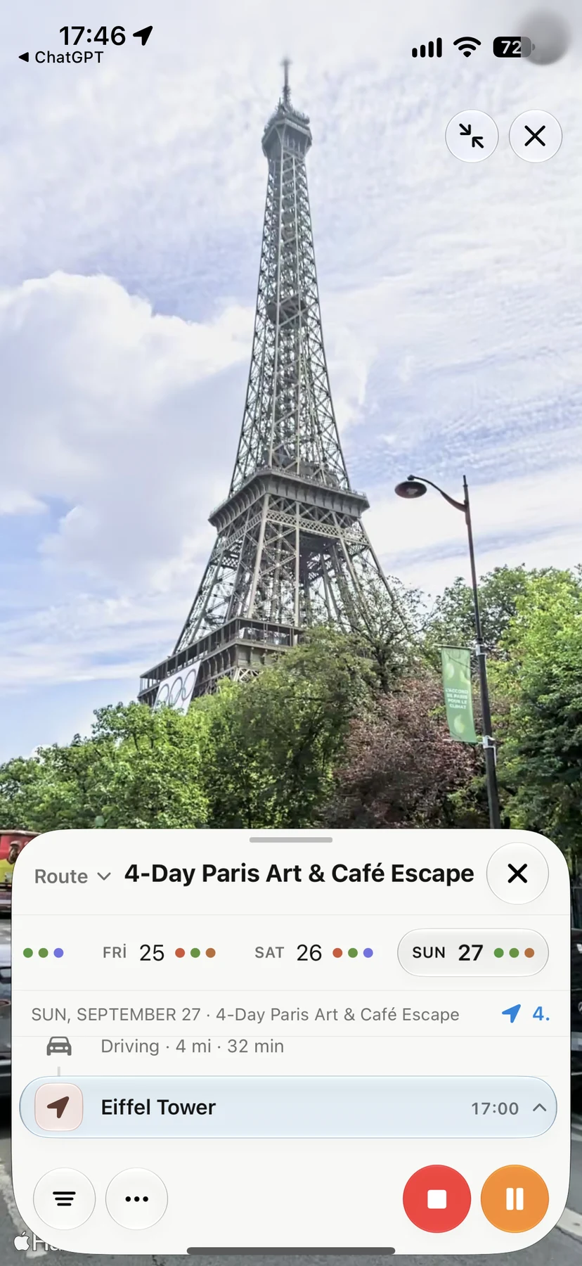
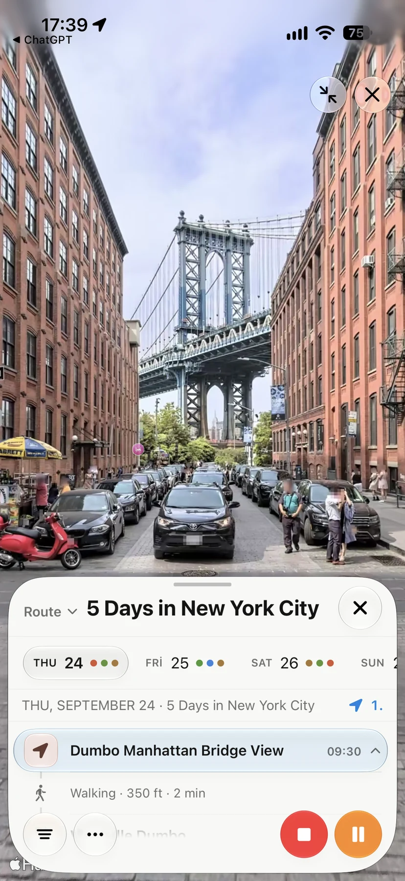
Look Around in Navly
See the streets before you go.
Explore supported streets in Apple Maps Look Around, then keep the places you want to visit in your trip. These are real Navly views from New York and Paris; coverage varies by location.









Good to know about Balat.
Are Fener and Balat the same place?
They are neighboring historic quarters on the Golden Horn and are usually easiest to visit in one continuous walk, although each has its own landmarks and character.
How much walking does Balat involve?
Balat is compact but hilly. The practical challenge is elevation and uneven streets rather than raw distance, so comfortable footwear and a clear endpoint matter.
Where should a Balat route finish?
A finish near the Golden Horn transport corridor is usually easier than ending deep uphill. Choose the endpoint around the next transit connection, not only the final landmark.


