01
Teşvikiye and Abdi İpekçi Street
Start around Teşvikiye Mosque and Abdi İpekçi Street to keep the main shopping, café, and dining area in one walkable cluster.
Spring flowers in Teşvikiye, Nişantaşı
Nişantaşı · Istanbul
Shop a little. Pause in the park.

Free manual planning. AI with Pro or Max.
A walking route · Istanbul
Build your own day. Save places, connect the route and adjust your plans.
Apple Maps · select a stop to explore
A practical route from Osmanbey through Teşvikiye and Abdi İpekçi Street, with a Maçka Park finish or an Ihlamur extension.
Not step-free. The measured Maçka connection contains stairs and loses about 70 metres; use a separately verified accessible route when steps are a barrier.
The shopping streets offer frequent indoor pauses, but the Maçka descent and park surfaces are more exposed in rain.
Walking estimates exclude stops, queues, closures and time inside places.
Osmanbey provides a clear transit start, the route crosses the core shopping and café streets once, and Maçka creates a natural downhill finish instead of backtracking.
Valhalla pedestrian geometry over OpenStreetMap. Reviewed 2026-08-29. Map background: Apple Maps. Routes are editorial examples, not live directions.
© OpenStreetMap contributors2.2 km · 30 min walking. Choose Ihlamur when the pavilion is a real destination and a Beşiktaş-side finish is more useful than Maçka or Harbiye.
Osmanbey: Use M2 as the measured start and walk south through the core streets. The route is one-way and finishes downhill from Osmanbey.
Maçka or Harbiye: Finish near the park and continue only when the next stop is deliberate. Returning to Osmanbey adds uphill travel that is not included in the estimate.
Ihlamur and Beşiktaş side: Use the measured Ihlamur variant for a south-east finish. It is longer, drops farther, and depends on current visitor information.
Plan 2–3 hours or a half day around Teşvikiye, Abdi İpekçi Street and Maçka Park, with Harbiye or Beşiktaş as deliberate onward options.
01
Start around Teşvikiye Mosque and Abdi İpekçi Street to keep the main shopping, café, and dining area in one walkable cluster.
Spring flowers in Teşvikiye, Nişantaşı

02
Maçka Park gives the route a greener southern edge and a practical transition toward Harbiye or the downhill direction to Dolmabahçe.
A cat on a path in Maçka Democracy Park

2–3 hours
Keep the core streets, cafés, and shopping cluster together instead of crossing the city for one extra stop.
Spring flowers in Teşvikiye, Nişantaşı
Half day
Use Maçka Park as the green edge of the route, then decide whether Harbiye or the descent toward Beşiktaş is the more coherent finish.
A cat on a path in Maçka Democracy Park
Look Around in Navly
Explore supported streets in Apple Maps Look Around, then keep the places you want to visit in your trip. These are real Navly views from New York and Paris; coverage varies by location.
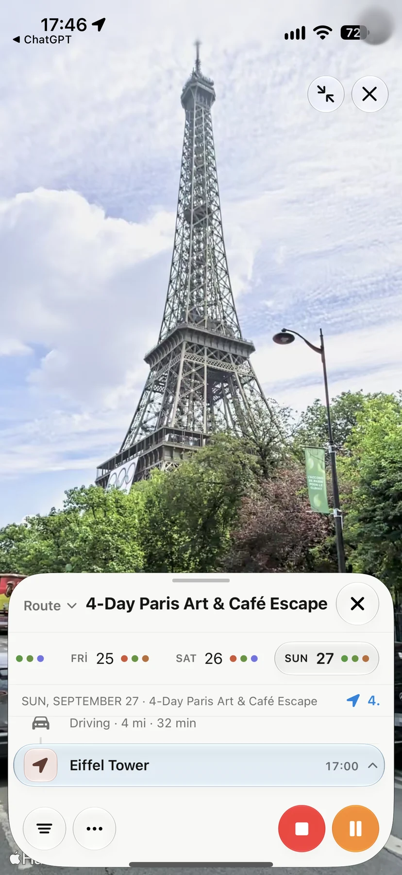
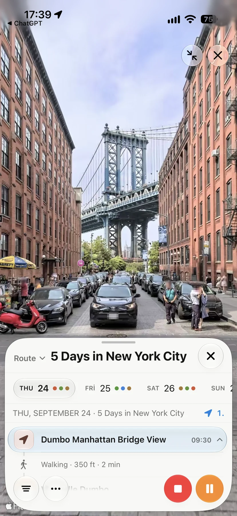
Nişantaşı is on Istanbul’s European side in Şişli, centered around Teşvikiye and Osmanbey, north of Taksim and above the Beşiktaş waterfront.
The core route is Teşvikiye Mosque, Abdi İpekçi Street, the neighborhood’s side streets, and Maçka Park, with Ihlamur Pavilion or Harbiye as optional extensions.
No. Nişantaşı is inland and uphill. The nearest Bosphorus-side route is toward Dolmabahçe or Beşiktaş, so the descent and return should be planned as a separate leg.