01
Ortaköy Square and the mosque
Keep the square and Ortaköy Mosque at the center of the visit. Check current mosque access around prayer times before treating it as a fixed indoor stop.
Ortaköy Mosque and the Bosphorus waterfront in Istanbul
Ortaköy · Istanbul
A Bosphorus afternoon

Free manual planning. AI with Pro or Max.
A walking route · Istanbul
Build your own day. Save places, connect the route and adjust your plans.
Apple Maps · select a stop to explore
A measured Beşiktaş-to-Ortaköy route plus a practical arrival matrix from Kabataş, the Asian side, and Sultanahmet.
Do not treat this as an uninterrupted flat promenade. Pavement width, crossings, road-side sections, and step-free continuity have not been verified end to end.
The route is exposed and road-adjacent in places; surface transit is the more resilient fallback in poor weather.
Walking estimates exclude stops, queues, closures and time inside places.
Beşiktaş is the strongest ferry and transit handoff, and the one-way route keeps the shore direction coherent before finishing at Ortaköy’s defining landmark.
Valhalla pedestrian geometry over OpenStreetMap. Reviewed 2026-08-29. Map background: Apple Maps. Routes are editorial examples, not live directions.
© OpenStreetMap contributors2.4 km · 30 min walking. Reverse the route when a Beşiktaş ferry or onward city connection is the fixed end of the day.
Kabataş: Continue north by current IETT service, including the route 22 corridor. Road traffic affects travel time; confirm the live stop and service pattern.
Beşiktaş: Use the measured 2.4-kilometre route from the ferry terminal. It is a real urban walk, not a continuous flat promenade.
Asian side: Take the ferry to Beşiktaş, then walk or use current surface transit. Ferry and shore legs have separate timing and accessibility constraints.
Sultanahmet: Use T1 to Kabataş, then transfer to current northbound surface transit. Do not model Sultanahmet–Ortaköy as one direct leg.
Waterfront continuation: Continue north toward Bebek by current surface transit. The full Ortaköy–Bebek shore should not be assumed to be one short walk.
Walk the measured 2.4 km Beşiktaş–Çırağan–Ortaköy route, or compare practical arrivals from Kabataş, the Asian side, and Sultanahmet.
01
Keep the square and Ortaköy Mosque at the center of the visit. Check current mosque access around prayer times before treating it as a fixed indoor stop.
Ortaköy Mosque and the Bosphorus waterfront in Istanbul

02
The waterfront beneath the bridge is the neighborhood’s defining view, so allow enough time for the shore rather than using Ortaköy only as a transfer point.
Bosphorus Bridge seen from Ortaköy at night

03
Choose one direction for the next leg. Beşiktaş leads toward ferries and Dolmabahçe; Bebek extends the day farther along the Bosphorus.
The Barbaros Hayrettin Paşa ferry pier in Beşiktaş
2–3 hours
Keep the waterfront square, Ortaköy Mosque, and the nearby market streets together as a focused Bosphorus stop.
Ortaköy Mosque and the Bosphorus waterfront in Istanbul
Half day
Work backward from the time you want to be by the water, then use one nearby route extension without risking the evening anchor.
Bosphorus Bridge seen from Ortaköy at night
Full day
Compare a southbound Beşiktaş start with a northbound continuation, keeping the actual transport leg visible before adding Bebek.
The Barbaros Hayrettin Paşa ferry pier in Beşiktaş
Look Around in Navly
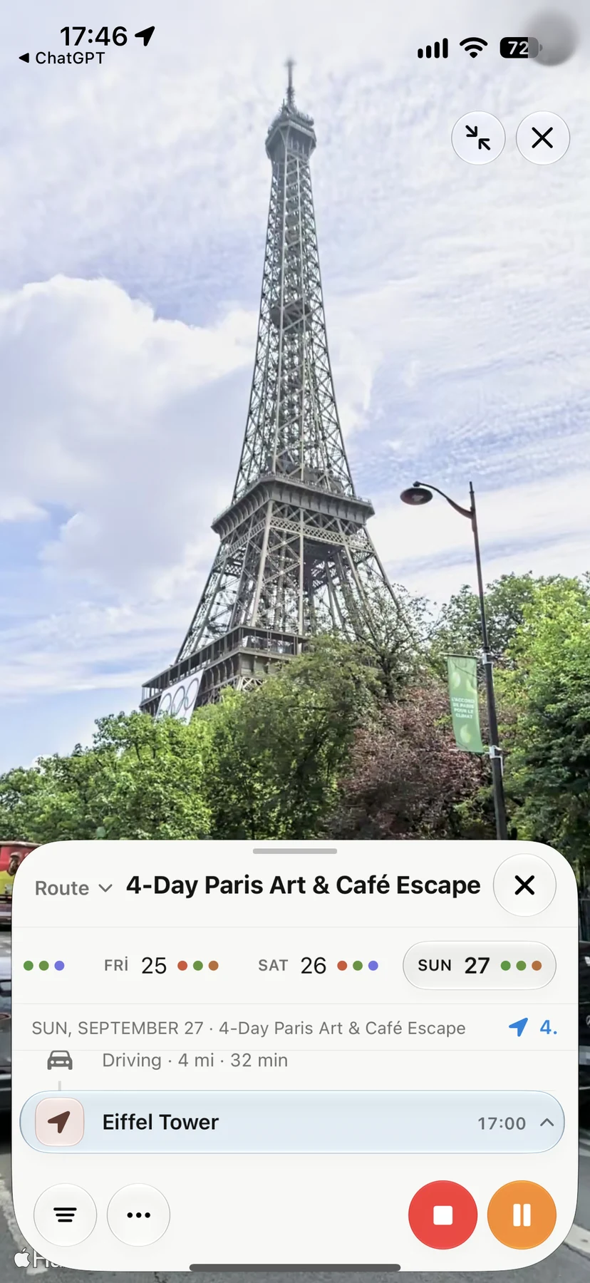
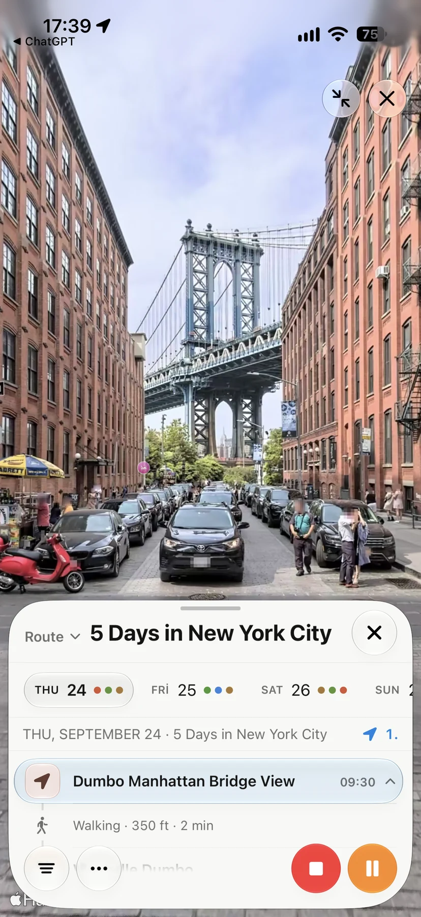
Explore supported streets in Apple Maps Look Around, then keep the places you want to visit in your trip. These are real Navly views from New York and Paris; coverage varies by location.
Ortaköy is on the European shore of the Bosphorus in the Beşiktaş district, between central Beşiktaş and the neighborhoods farther north toward Bebek.
The main anchors are Ortaköy Mosque, the waterfront square, and the Bosphorus view beneath the bridge, supported by compact food and market streets nearby.
They can share a Bosphorus-side day, but the connection consumes real time. Compare transport and keep the plan focused instead of assuming the entire shore is one short walk.