Rio de Janeiro, Brazil

Copacabana to Ipanema: A Rio Waterfront Walk via Arpoador
Walk Rio de Janeiro's South Zone shore from Copacabana past the fort and Arpoador to Ipanema, with timing, sunset and safety notes for one connected day.
By Navly EditorialPublished 2 min read
Open the Rio de Janeiro guide
Copacabana and Ipanema are often planned as two separate outings. In reality they are next-door neighbors on the same stretch of coast. A short rocky point, Arpoador, sits between them.
Walking from one to the other turns two beach visits into one connected day. You also skip a transfer between neighborhoods that are already side by side.
The route
- Copacabana beachfront: start on the long promenade, with its famous wave-pattern pavement.
- Forte de Copacabana / Posto 6: the southern end of Copacabana, by the historic fort.
- Pedra do Arpoador: the rocky point that divides the two beaches and has wide views along the coast.
- Ipanema beachfront: continue west along Ipanema toward Leblon.
The walk is linear and follows the sea, so it is easy to navigate. Choose your direction based on where you want to end the day.
Arpoador and the sunset
Arpoador is Rio's best-known sunset spot. In clear weather, people gather on the rocks to watch the sun go down behind the mountains at the end of Ipanema.
Do not lock your whole plan around a sunset, though. Clouds, sea conditions and the time you actually arrive decide whether it is worth waiting. Treat it as a bonus if the timing works.
Practical notes
- Heat: the promenade has little shade in the middle of the day. Walk in the morning or late afternoon, and carry water.
- Beach conditions: sea conditions and flags change. Check before swimming.
- Belongings: carry only what you need on the beach, and keep phones out of sight in crowds.
- Accessibility: this is a place sequence, not a certified step-free route. Pavement conditions, crossings and works can change the practical path.
Keep Sugarloaf for another day
Sugarloaf Mountain, in Urca, is close on a map but works better as its own block. You reach it through Botafogo to the Praia Vermelha cable car. Adding it to a long beach walk usually means rushing both.
For more ways to group Rio by area, see the Rio de Janeiro guide.
Sources to check before you go
Navly for iPhone
See the route before you walk it
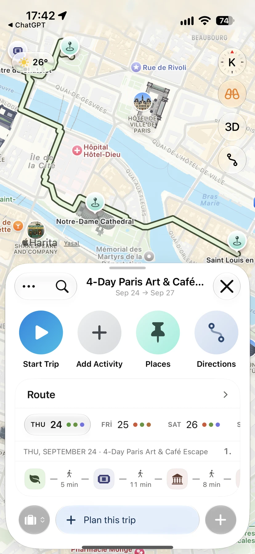
Navly shows each day's stops in order on the map, compares travel times between them and opens directions in Apple Maps when you go.

Free manual planning. AI with Pro or Max.








Keep planning

Edinburgh, United Kingdom
Edinburgh's Spooky Old Town: Closes, Kirkyards and Vaults
Plan an eerie evening in Edinburgh's Old Town: the Royal Mile closes, Greyfriars Kirkyard, an underground street tour and Calton Hill at dusk.
Walking routes · 2 min read

Barcelona, Spain
Sagrada Família to Park Güell: A Gaudí Walking Route
Walk from Sagrada Família past Sant Pau to Park Güell in Barcelona: a measured 45-minute route, the climb to plan for and a flatter old-city alternative.
Walking routes · 2 min read

Bebek, Istanbul
Bebek to Rumeli Hisarı: A Short Bosphorus Waterfront Walk
Walk the Bosphorus shore from Bebek Park to Rumeli Hisarı in about 25 minutes, with the Aşiyan hill variant, transport to the start and the way back.
Walking routes · 2 min read